The George Municipality will soon have access to data collected from drones and on-foot surveys following the recent successful completion of a second joint GPS Project with the Western Cape Department of Human Settlements.
The socio-economic household information, GPS coordinates and aerial imagery gathered in local informal settlements during the project will inform, among other things, housing allocations based on the true circumstances of applicants.
George Municipality Director Human Settlements, Charles Lubbe, said the information gathering process was completed end of January.
“The subsequent socio-economic report, aerial imagery and GPS coordinates will be available to the municipality’s Human Settlements department by the end of this month (February),” said Lubbe.
“The information gives the municipality opportunity to check and update its own database and helps inform the bigger picture – not only for allocating housing but also in determining growth patterns and infrastructure needs for future planning and upgrading of informal settlements. The project had the added benefit of advancing our staff in knowledge, experience and insight which in turn will benefit our communities in the long term.”
The recently completed survey was a replication of the GPS Pilot Project that was conducted in George between 2015 and 2017 and was aimed at gaining updated information about informal areas that are ever-changing.
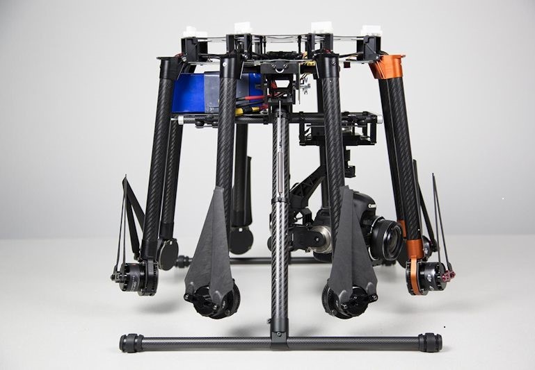
In addition to the survey methods used in the past, the latest project incorporated drone technology to gather aerial photographic data.
The overall objective of the project was to perform surveys that would assist in better understanding the household living conditions in informal settlements, social profiling of families and to trace applicants living in informal settlements using GPS coordinates and aerial imagery.
The information would in turn be translated into an informed allocation process that took as many as possible necessary factors into consideration.
George Municipality one of only three chosen for GPS project
The George Municipality was one of only three in the province to participate, along with Drakenstein and Breede Valley.
The project was funded by the Belgian government via the national Department of Public Service and Administration.
George Municipality was selected by the provincial department to partner in the programme for three reasons:
- the municipality’s Human Settlements team is highly committed, efficient and passionate about implementing and enhancing the Western Cape Housing Demand Database (WCHDDB),
- the municipality made the best progress of all non-metro municipalities in the province towards data cleaning its local Housing Demand Data Base,
- the municipality is considered a well-functioning and stable municipality.
More than 3 000 households were surveyed in informal settlements at France, Mandela Village, Dameni, Dube, Rhodesia, Telkom, Syferfontein, Kleinkrantz, Wilderness Heights and Rosedale.
The most recent project also incorporates the donation by the provincial department of a specialised drone and related computer equipment and software to the municipality, as well as Remote Pilots Licence (RPL) and drone proficiency training for the relevant municipal official.
“Informal settlements are ever-changing, and the future availability of a specialised drone will help us to regularly assess the nature and conditions of these neighbourhoods, to ensure we plan and make decisions based on fresh and useful information catered to the city’s unique needs and circumstances,” said Mr Lubbe.
Follow more RNEWS articles, subscribe to our YouTube channel and for breaking news LIKE us on Facebook. For news on the Western Cape click here.